Okay, this is just all sorts of freaky-cool.
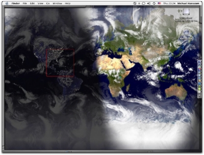
A while ago, I started using OSXplanet, a nifty little application that puts a map of the world on my desktop that lightens and darkens with the position of the sun. One of the options the program has is to include a current cloudmap as an overlay, taken from satellite data, and kept current to within three hours. Since it makes the picture more interesting to look at than just the world map, I turned that on.
What with Hurricane Frances being in the news right now, I got curious, and took a look at my desktop…
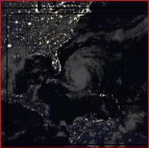
That’s my current desktop picture. If we take a close look at the area I’ve got marked with a red square…

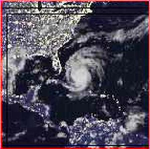
And just to make it even more clear, since it’s nighttime on the east coast right now, a little bit of brightness adjustment…

Wow. Sitting here in my apartment in Seattle, I can watch a satellite’s-eye-view of Hurricane Frances approaching the Florida coastline. Cool and scary, all at the same time.
iTunes: “Run to the Sun (Amber Solaire)” by Erasure from the album Run to the Sun (1994, 10:14).

